Mount Allison Researchers Create Tool to Assit Communities with Flood Risks Related to Climate Change
A group of researchers at Mount Allison University are working to ensure communities in New Brunswick are prepared for climate-change related flood risks.
The Geospatial Modelling Lab, headed by geography and environment professor Dr. David Lieske, has just completed a final report on the Town of Sackville’s climate-change related flood risk as part of the Tantramar Community Adaptation Viewer project.
“Through this research, custom software was developed to allow various aspects of vulnerable infrastructure, neighbourhoods, and sections of dyke to be overlapped with different projected sea-level rise scenarios,” says Lieske.
The research team, including professors Lieske, Lori Ann Roness, Mount Allison master’s student Emily Phillips, and James Bornemann with the Tantramar Planning District Commission and the South East Regional Service Commission, received funding through New Brunswick’s Environmental Trust Fund and the Social Sciences and Humanities Research Council of Canada’s Aid to Small Universities program.
As part of this made-in New Brunswick solution, a group of local expert stakeholders (dyke managers, engineers, Town councillors, etc.) were lead through the software toolkit by the research team. Using the technology, they were able to create locations of concern or zones in need of adaptation intervention.
Through the use of special analysis tools built into the software, participants were able to examine the economic and social vulnerability of those flood-risk areas. The project concluded with a plenary meeting with key stakeholders in February to view the vulnerability maps and discuss risk reduction strategies.
“Through our research, and the collaboration with several community groups, we have been able to put together a comprehensive report that could be adapted to other communities in New Brunswick at risk for climate change related flooding,” says Lieske. “We look forward to continuing to work with community groups and local governments to begin implementing some of these recommendations.”
The results of this meeting, and the project, are available online:http://arcgis.mta.ca/toolkit/reports/FinalReport_TCAV.pdf
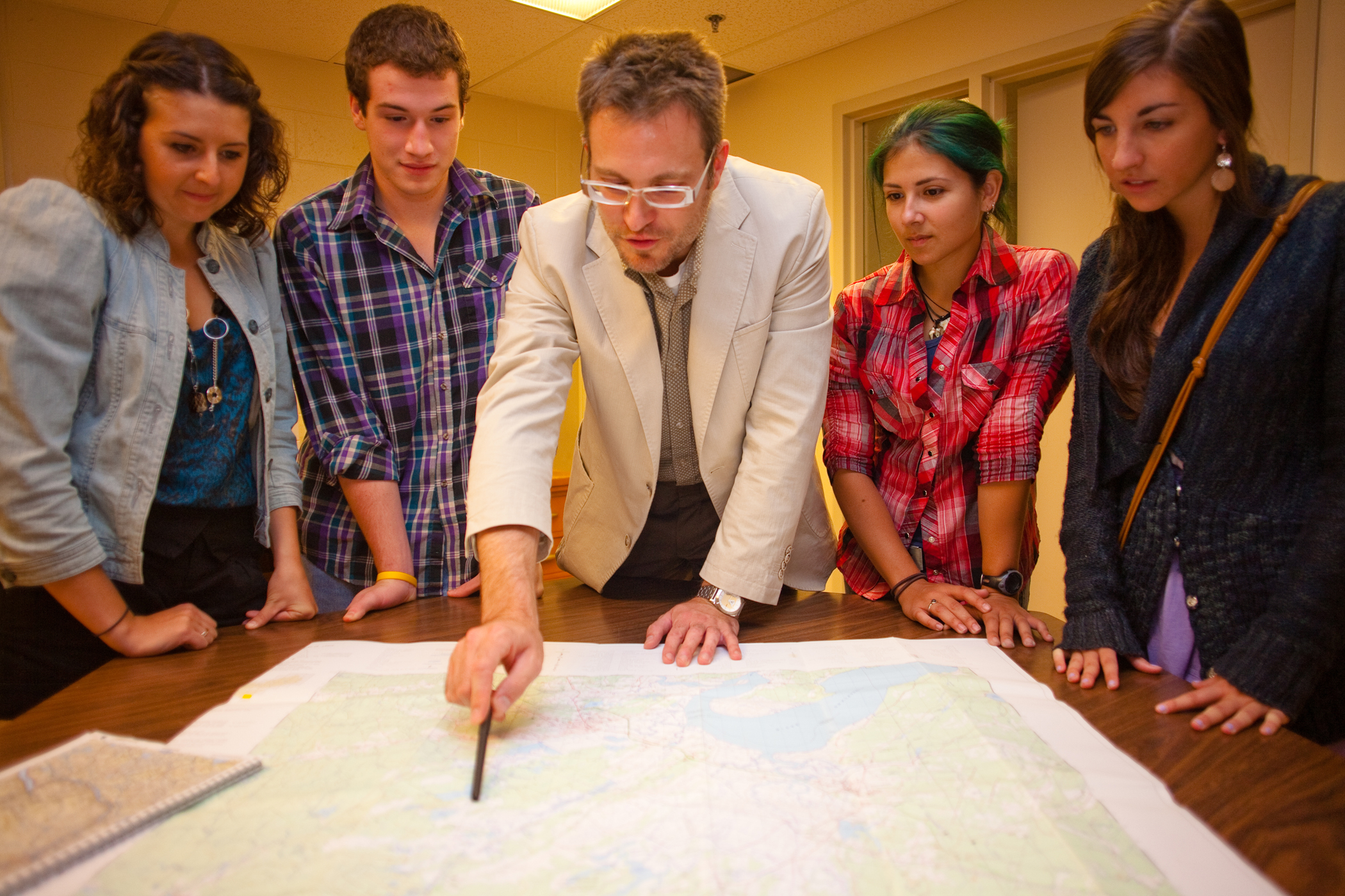
Photo caption: Mount Allison geography and environment professor Dr. David Lieske, centre, looks over local maps with students. Lieske and a team of researchers have just completed a final report on the Town of Sackville’s climate-change related flood risk as part of the Tantramar Community Adaptation Viewer project.
————————————————–
Laura Dillman Ripley
Media Relations Officer, Assistant Editor of the Record
Mount Allison University
65 York Street
Sackville NB E4L 1E4
tel: (506) 364-2600 | fax: (506) 364-2262


